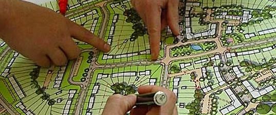
Remote Sensing for Planning: Latest Updates
Remote sensing technology has revolutionized the field of planning, offering advanced tools for monitoring, analyzing, and managing land, resources, and infrastructure. By capturing data from satellites, drones, and aircraft, remote …
Remote Sensing for Planning: Latest Updates Read More